
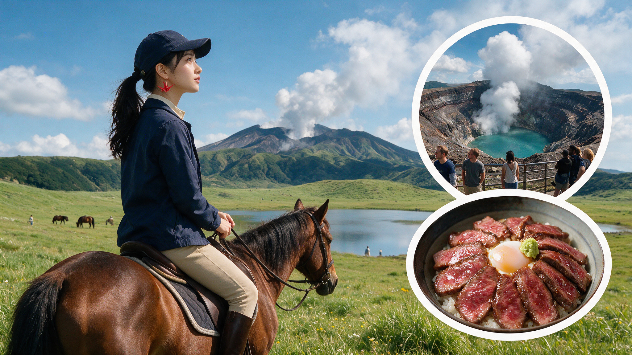
Mount Aso in Kumamoto Prefecture is home to one of the largest active volcanic calderas in the world. Visitors can hike across desolate volcanic landscapes like the Sunasenri Trail, look down into the steaming crater of Nakadake, or walk through the grassy plains of Kusasenrigahama where horses graze. The surrounding region of Aso-Kuju National Park also features natural volcanic springs, scenic train rides on the JR Kyushu Aso Boy!, and traditional hot spring bathhouses.
Exploring Scenic Landscapes in North Aso
The video highlights a travel journey through the northern region of Aso in Kumamoto Prefecture. This episode represents the second part of a travel series focused on hidden destinations in Kyushu. It introduces viewers to the rural landscapes and geographical features of North Aso. The footage captures the outdoor areas and scenic viewpoints found throughout this mountainous district. The presentation serves as a visual guide to the countryside of Kumamoto.
- 📍 Featured Spot: North Aso
- 💡 Best for: Nature Lovers, Road Trippers
Van Life in Kyushu: Hiking Aso-Kuju National Park & Drinking Volcanic Spring Water
Ryan Bednar documents his multi-day van life journey through the Aso-Kuju National Park in Kyushu. He explores the massive caldera, which contains rice fields, grazing aka-ushi cows, and active volcanoes emitting steam. During his outdoor adventures, he uses a Hypershell exoskeleton to carry his camera gear while hiking. He stops to drink fresh water directly from local volcanic springs. Later, he hikes through the Kuju Mountains and concludes his trip by visiting a regional onsen town.
- 📍 Featured Spot: Aso-Kuju National Park
- 💡 Best for: Hikers, Van Life Enthusiasts
Hiking the Sunasenri Trail to Nakadake & Takadake Summits
The creator from GoNorth Japan visits Mt. Aso in Kumamoto to hike the largest volcano and caldera in Japan. He introduces the five main volcanic summits: Nakadake, Takadake, Nekodake, Mt. Eboshi, and Mt. Kishima. For this hike, he selects the Sunasenri trail, which remains open to hikers even when high poisonous gas levels close off the main crater area. He successfully climbs to the summits of Nakadake and Takadake to show the volcanic landscape. Additionally, he shares drone footage capturing the distinct shape of Nekodake.
- 📍 Featured Spot: Sunasenri Trail
- 💡 Best for: Active Hikers, Mountain Climbers
Exploring Kusasenrigahama & the Aso Nakadake Crater with MIKI
MIKI from Japan travels from Aso Kumamoto Airport to explore the active volcanic areas of Kumamoto. She takes a bus to the Kusasenri Aso Kazan Hakubutsukan Mae stop to visit the vast plains of Kusasenrigahama. Her journey continues past the New Kusasenri facility to the ASO SANJO TERMINAL. From there, she walks up to view the active Aso Nakadake Crater 1. She also shares details about the Minami Aso Railway and a helicopter flight option over the active volcano.
- 📍 Featured Spot: Kusasenrigahama
- 💡 Best for: Solo Travelers, Sightseers
Riding the Aso Boy! Train & Hiking the Nakadake and Takadake Loop
The host from Kampai Cam in Japan rides the JR Kyushu Aso Boy! train to Aso Station to begin a day trip. He takes a local bus to the Aso-Sanjo terminal to view the steaming active crater of Mount Naka. From there, he embarks on a loop hike leading up to the summits of Nakadake and Takadake. After completing the strenuous mountain loop, he heads to the Aso Bochu Onsen, also known as Yumenoyu, to unwind in the hot spring water. The video also features budget accommodation at Aso Base Backpackers and a noodle meal at Ramen Gyan.
- 📍 Featured Spot: Aso Bochu Onsen (Yumenoyu)
- 💡 Best for: Backpacker Hikers, Solo Travelers
Mount Aso Crater Safety Tips & Local Farm Milk
This short video highlights standing at the edge of Mount Aso’s active volcanic crater while it emits steam and toxic gases. The hosts recommend driving or joining a local tour to access the mountain due to limited public transportation options. They advise checking volcanic activity levels before arriving and wearing a jacket to block the chilly winds. Finally, they suggest trying fresh Aso milk and yogurt from nearby local farms or going horseback riding.
- 📍 Featured Spot: Mount Aso Crater
- 💡 Best for: Families, Casual Tourists
Trekking the Sunasenri Trail to Minamidake, Nakadake, & Takadake
The creators from In Words and Frames document a day hike through Kumamoto’s Aso-Kuju National Park. They travel from Aso Station by bus to the Aso Sanjo Bus Terminal to access the Sunasenri Trailhead. The hiking path leads them across fields of volcanic boulders and up to the peaks of Minamidake, Nakadake, and Takadake. From these elevated summits, they get views of the nearby active Nakadake Crater. Before concluding their day trip, they stop by the mountain’s Observatory and the Volcano Museum.
- 📍 Featured Spot: Sunasenri Trailhead
- 💡 Best for: Day Hikers, Outdoor Enthusiasts
Exploring Kusasenrigahama & Staying at a Historic Samurai Ryokan
Sean and Jerl continue their onsen road trip by driving through Kumamoto to the grassy plains of Kusasenrigahama. Along the way, they stop at various viewpoints, explore a volcanic desert, and pet grazing horses. They also make a quick stop to see the statue of the anime character Usopp. To end their day, they check into a family-run ryokan that historically housed samurai and is currently home to two resident cats. The owners serve them a traditional multi-course dinner and breakfast made with home-grown ingredients.
- 📍 Featured Spot: Kusasenrigahama (Aso Plains)
- 💡 Best for: Couples, Slow Travelers
Kyushu Regional Guide: Exploring Mount Aso & Kumamoto Castle
This regional travel guide outlines the top attractions across Japan’s southernmost main island of Kyushu. The video covers important logistical details including regional geography, seasonal weather patterns, and transportation options. It highlights famous cultural landmarks like Kumamoto Castle and the Nagasaki Peace Park. Additionally, it introduces the natural scenery of Mount Aso and the Miyazaki Valley. The narrator provides tips on the best times of year to visit these diverse destinations.
- 📍 Featured Spot: Mount Aso
- 💡 Best for: First-Time Visitors, Trip Planners
Winter Travel Strategies: Clothing, Events, & Seasonal Foods
The creator of Ono in Japan shares a practical guide for travelers planning to visit Japan during the winter season. The video explains the typical winter climate across the country and offers advice on booking accommodations early. It details major seasonal events, cultural experiences, and popular winter foods to try. The host also discusses recommended illumination spots and provides tips on what clothing to pack for the cold weather. Viewers get updated information on entry requirements and regional winter tourist spots.
- 📍 Featured Spot: Various spots in Japan
- 💡 Best for: Winter Travelers, General Tourists